DODECANESE ISLANDS, Greece
Dodecanese Images
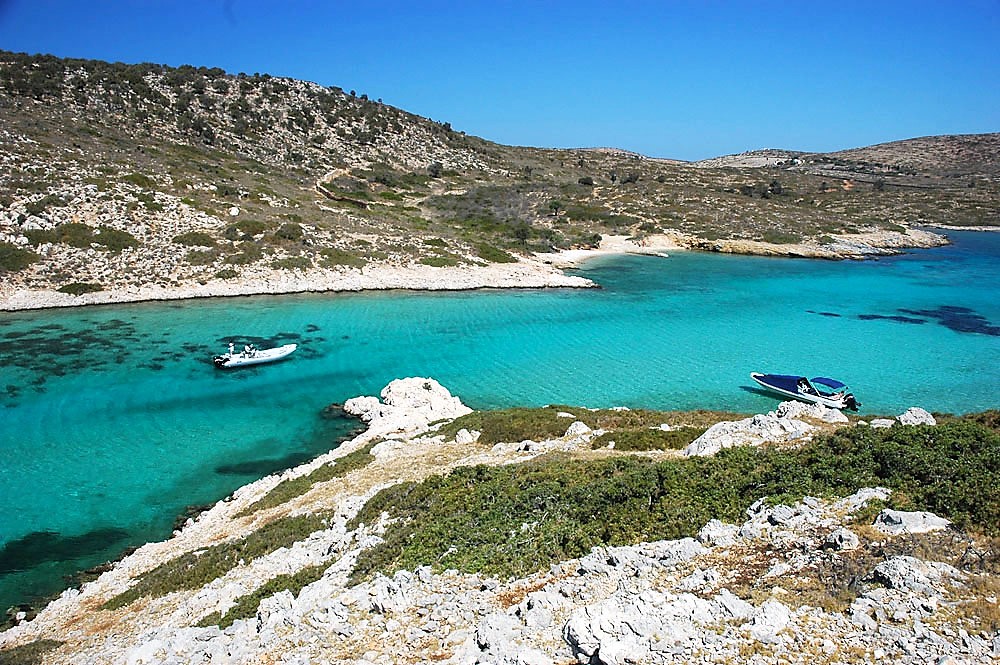
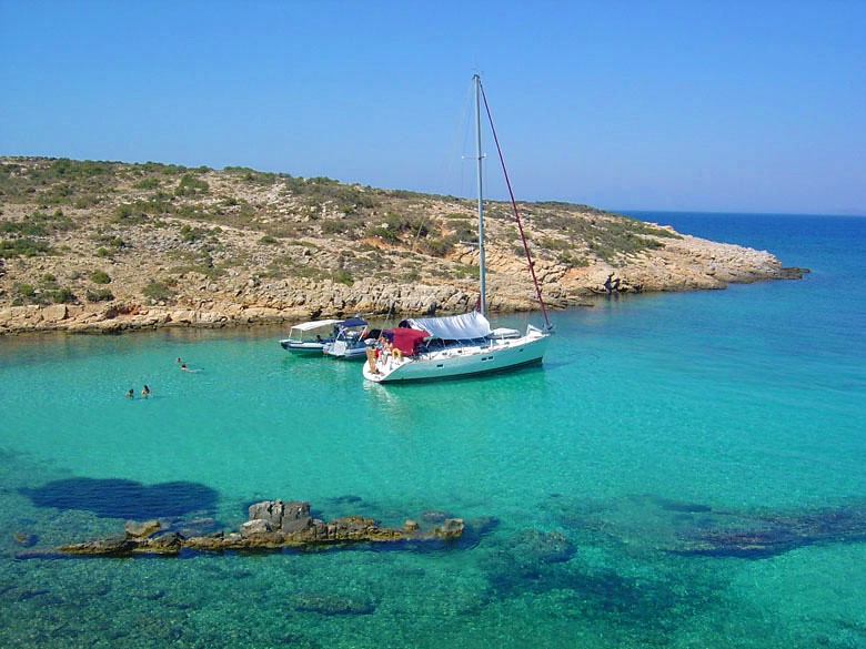
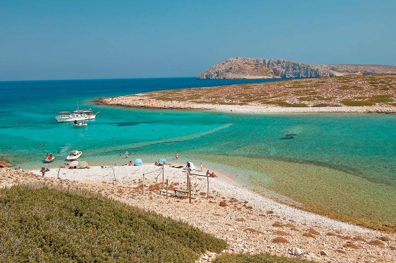
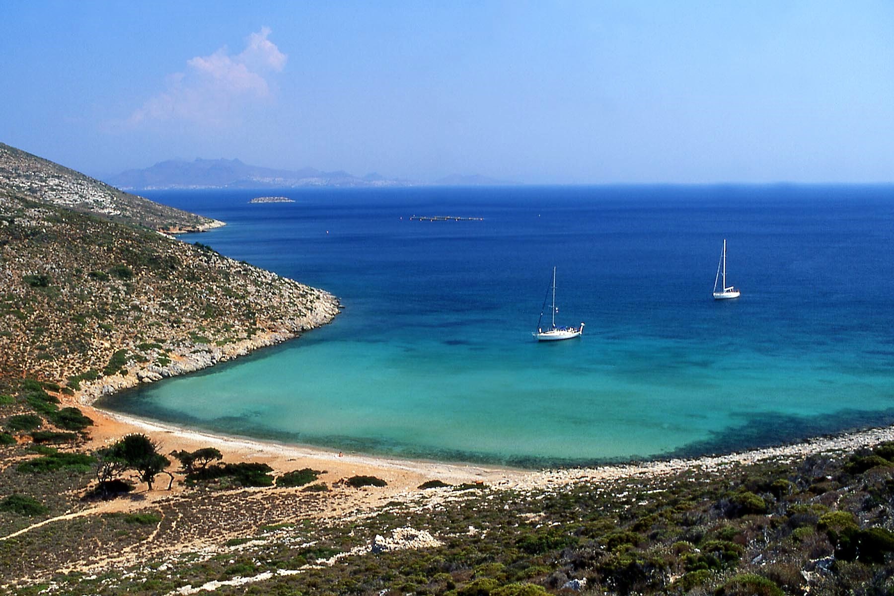
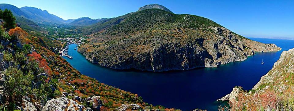
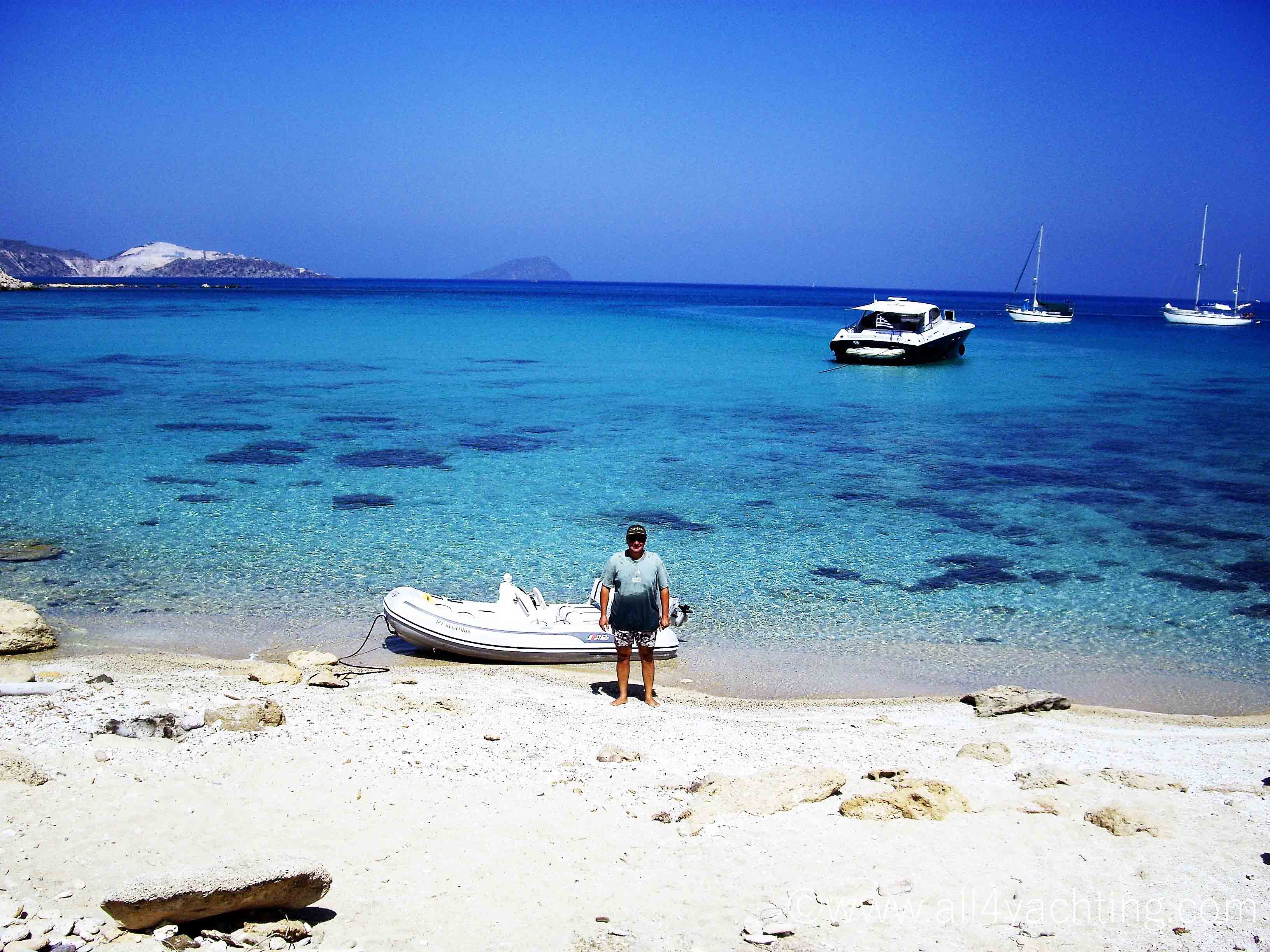
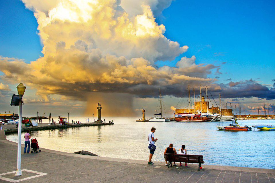
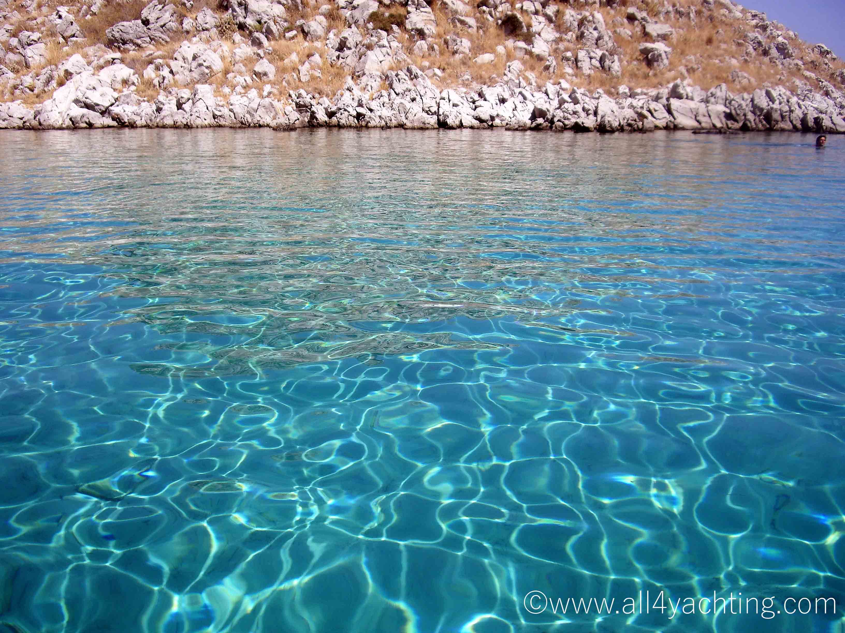
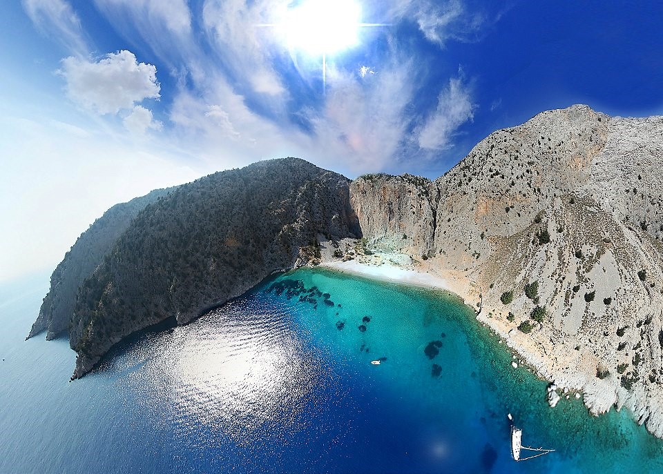
The Dodecanese islands are in their bigger part (Kos and Rhodos islands excepted) bare of vegetation although not to such extend as the Cyclades. The Dodecanese islands located at the Southeastern end of Greece are the warmest Greek sailing destination - good to visit even in early April or late October and November. The charter bases are set in the nice new marina of Kos island and in the old harbor of Mandraki in Rhodos. The prevailing winds are blowing from NW and they are less strong than in the open Aegean Sea.
In spring and September winds are “traditionally” calmer from Southeast. The “character” of the islands is influenced partly from the Venetians and a lot by the Knights of St John and the middle Ages, though visually and culturally the Dodecanese remains purely Greek.
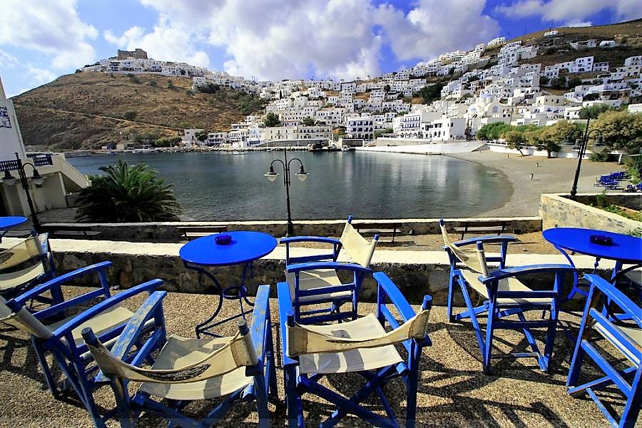
The Dodecanese are located East of the Cyclades, West of the coast of Asia Minor, and North-East of Crete. It is an enchanted world, where the sun paints pictures and gives life. The mild winters and refreshing summers give the Dodecanese one of the healthiest climates in the Mediterranean. The islands of the Dodecanese are engaged in a beauty contest with no clear winner.
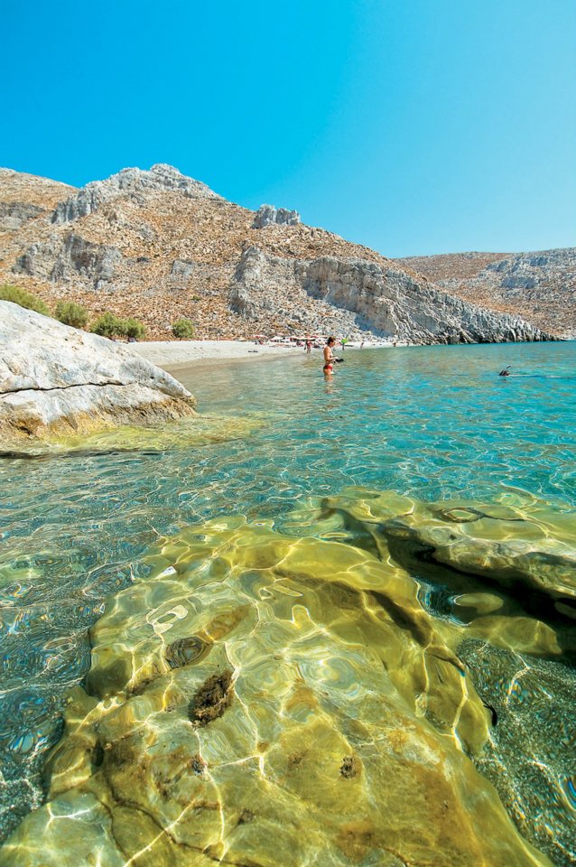
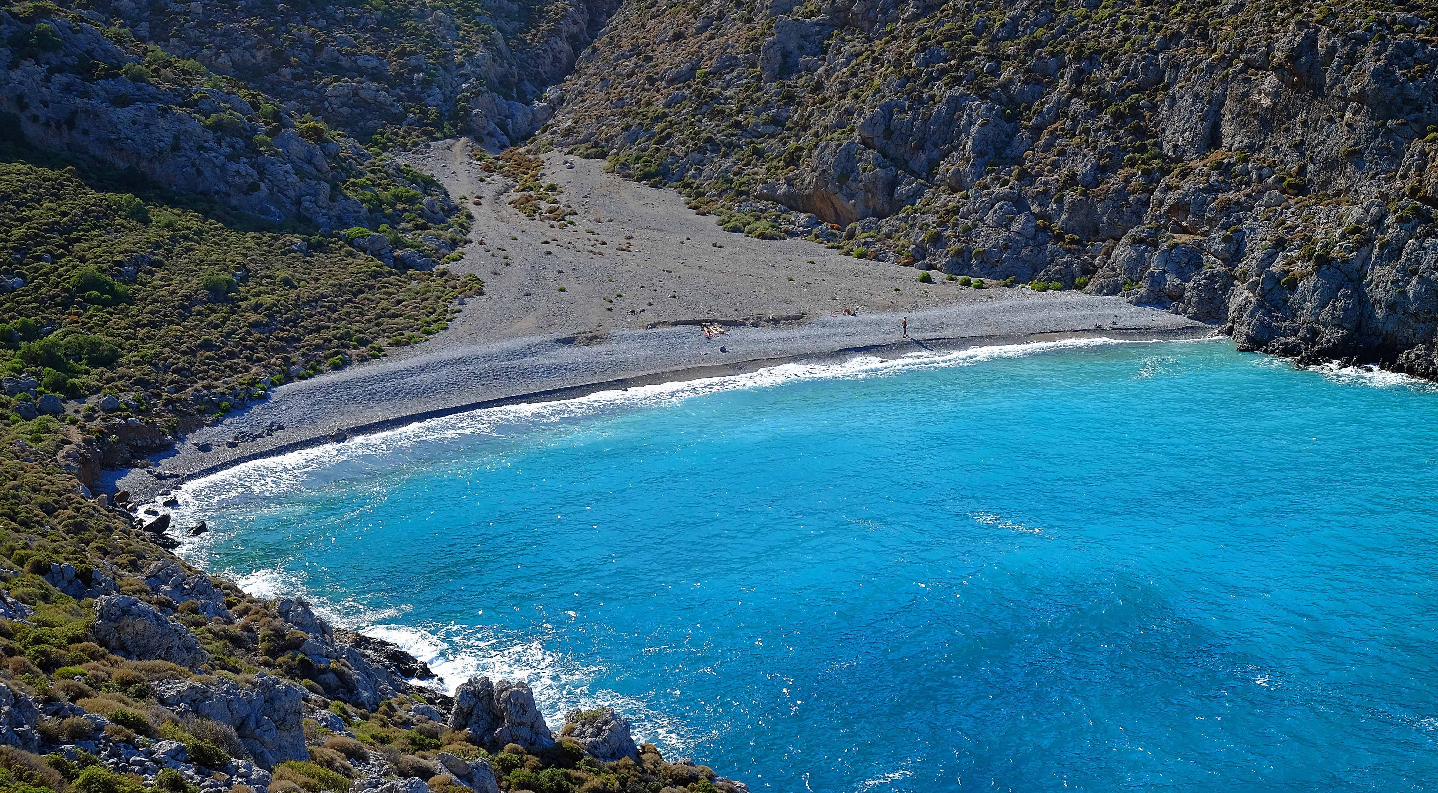
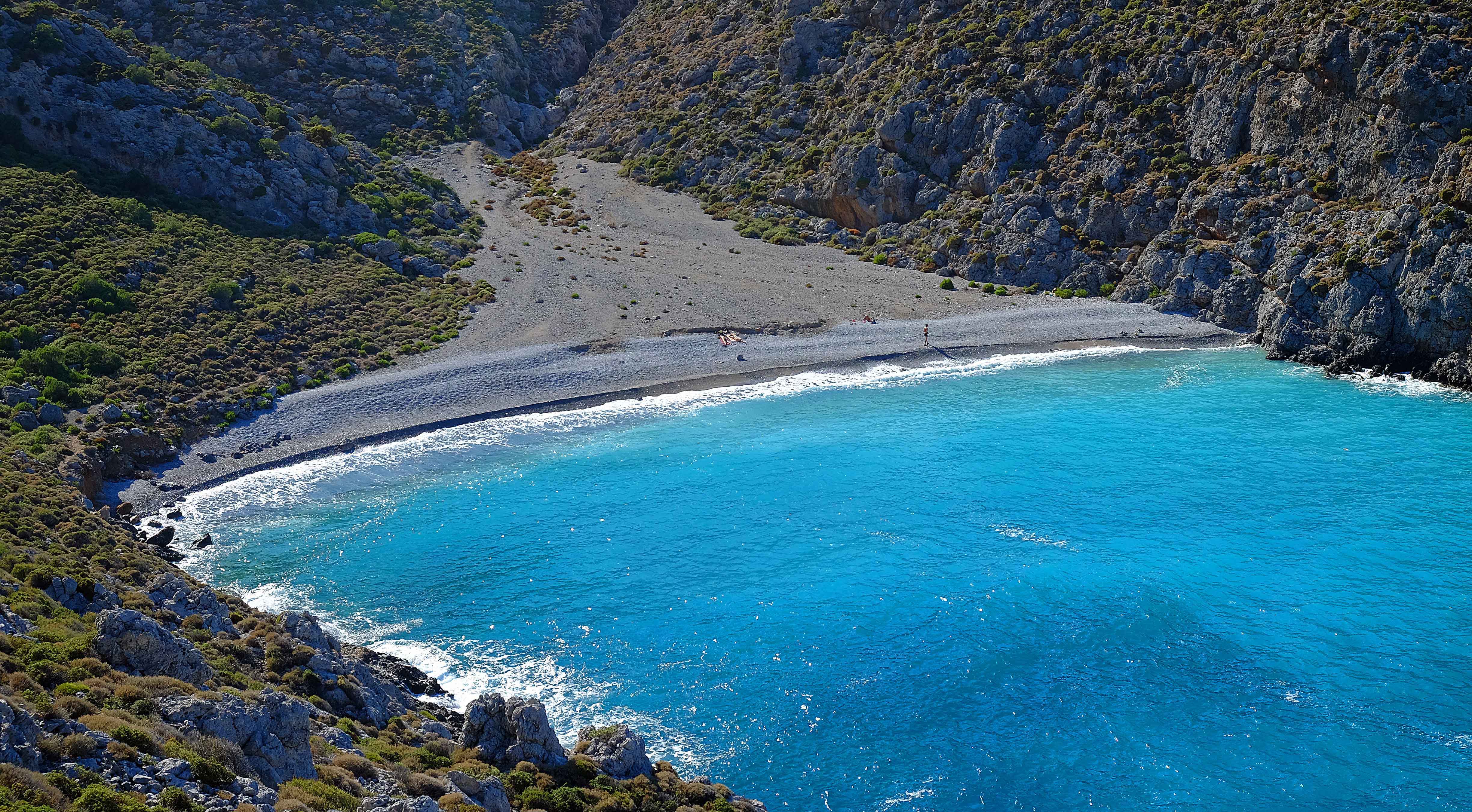
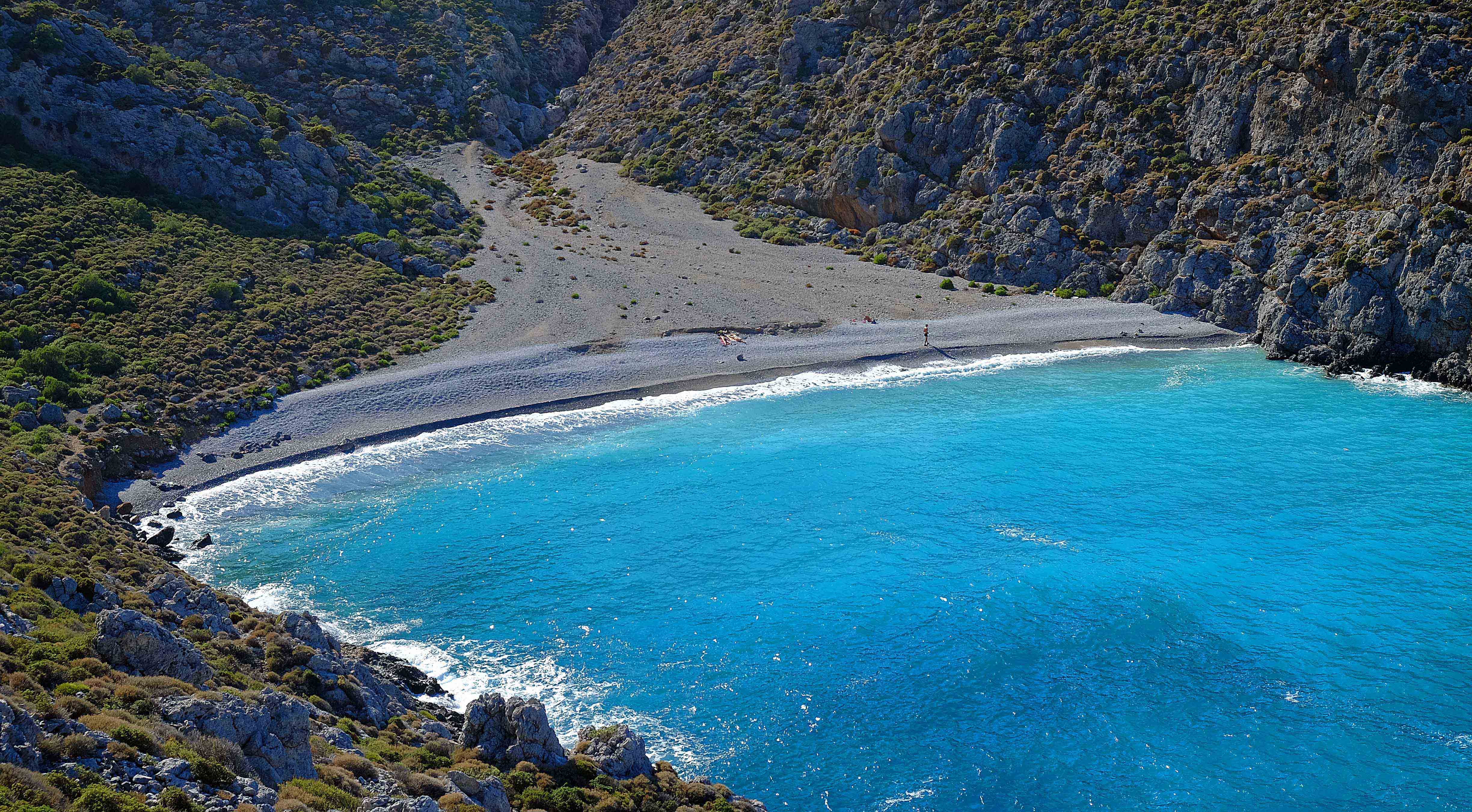
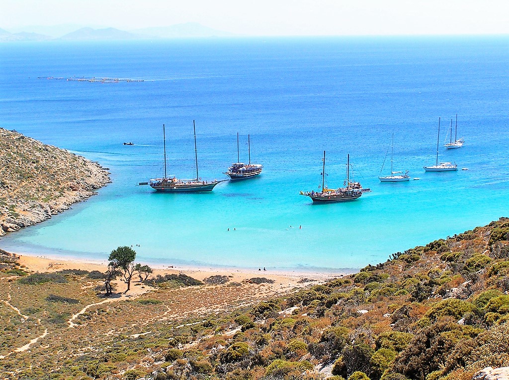
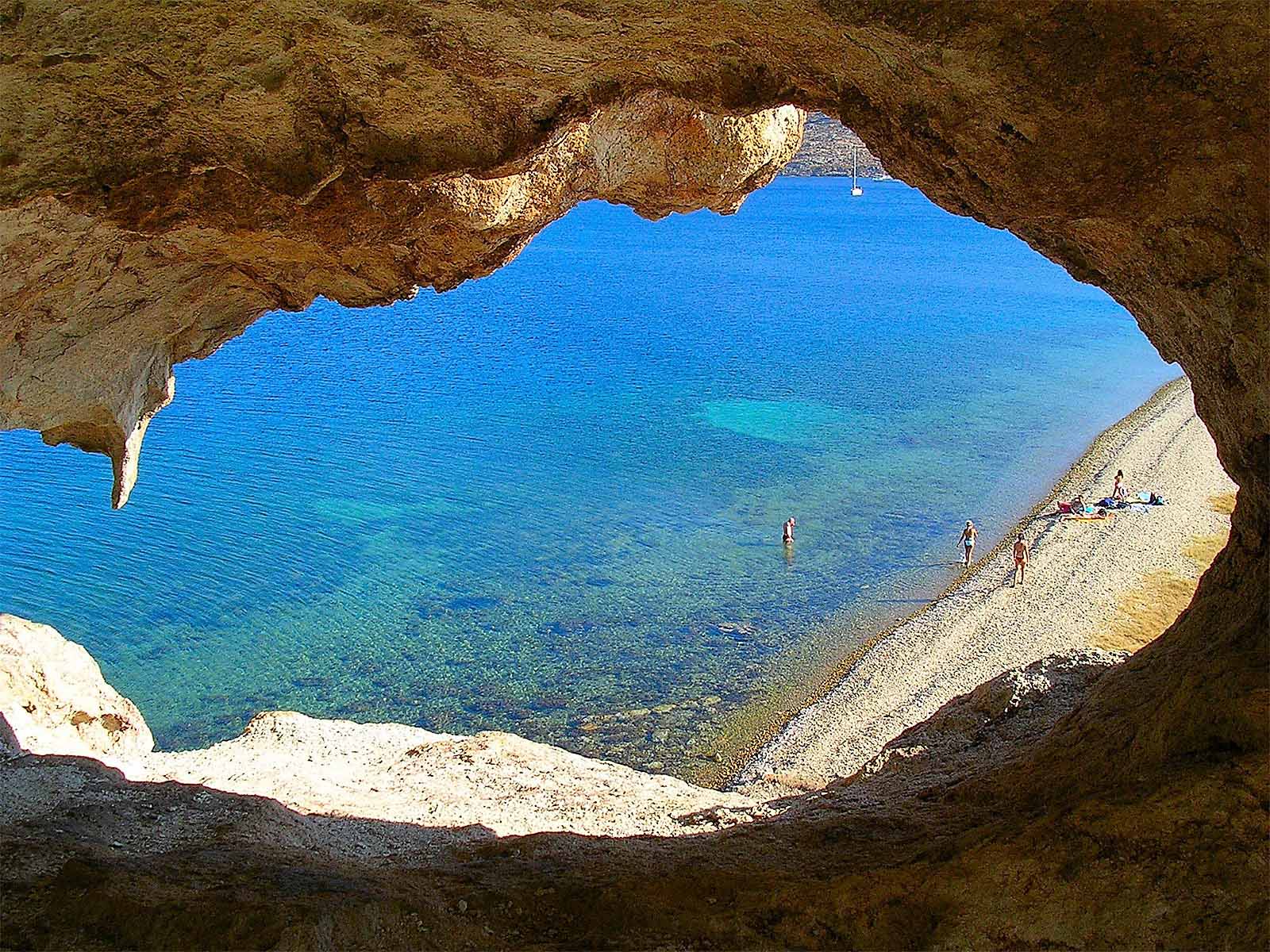
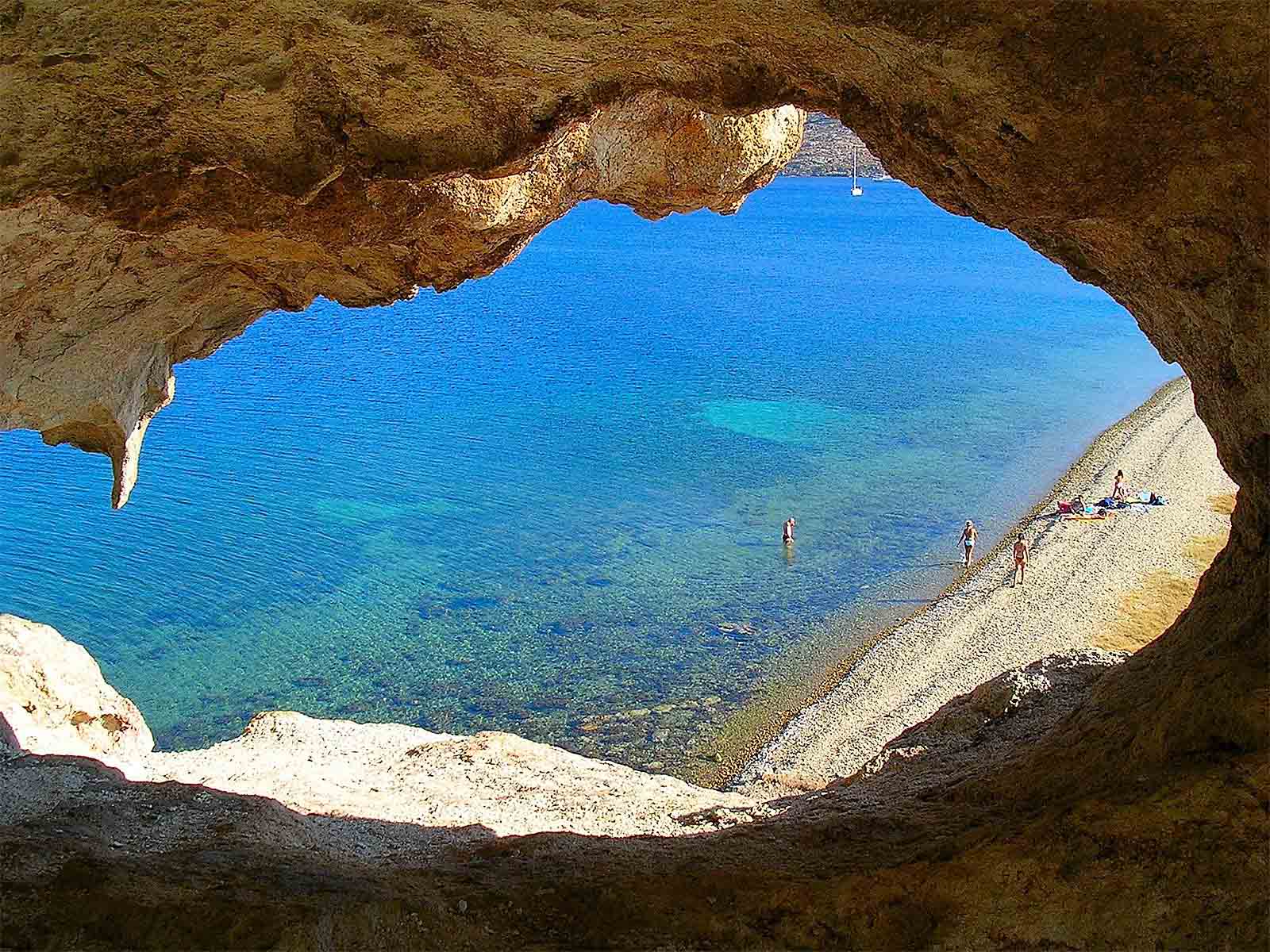
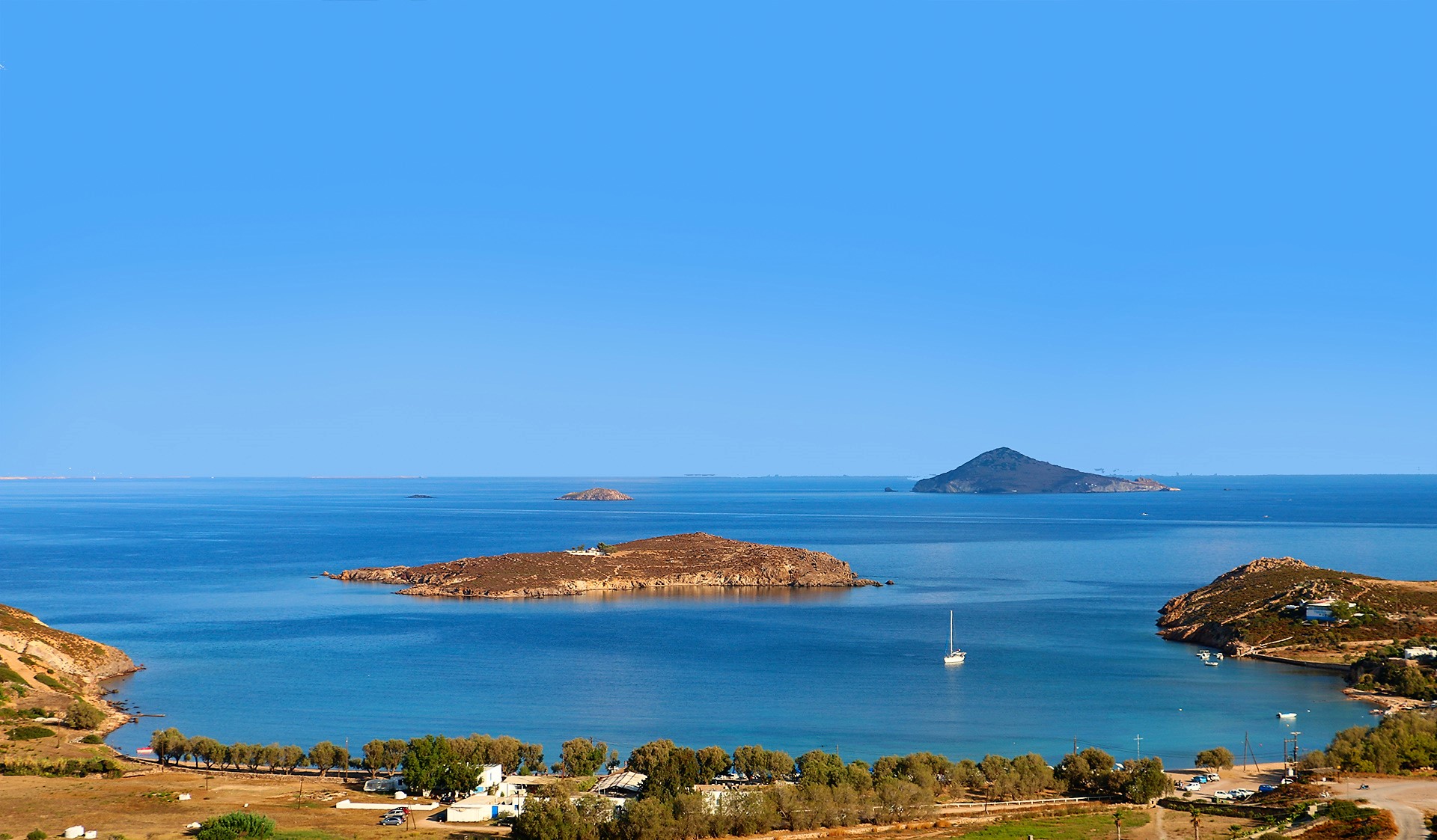
These islands are a sailor's paradise of more than 163 islands and islets. You will find on each island uncounted beautiful beaches and bays that you should not miss. However the must see islands are:
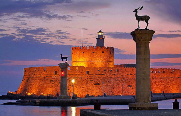
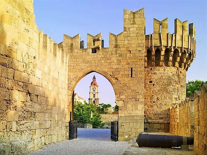
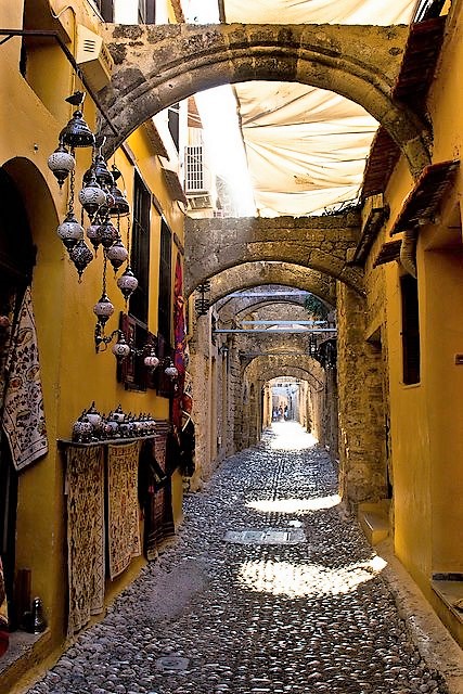
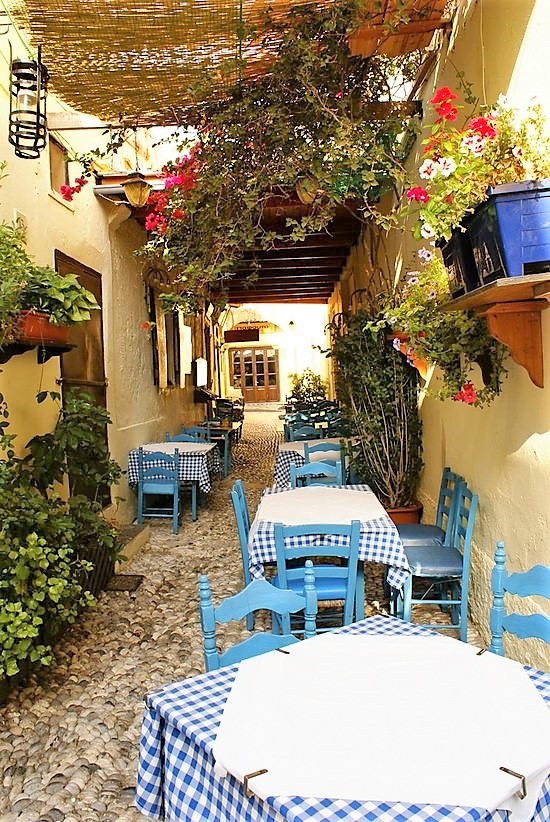
Rhodes
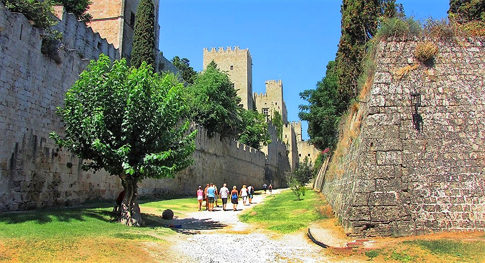
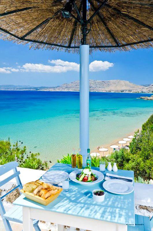
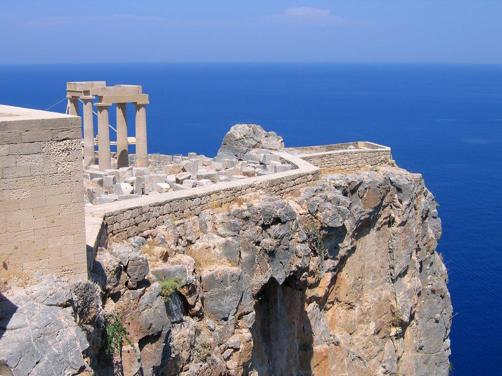
Rhodes is the capital of the Dodecanese, an island which is ideal not only for those who want to relax but also for those looking for an action-packed holiday! With its bright green hills, rich green valleys and uninterrupted line of golden beaches, Rhodes is truly a blessed place. Add in the excellent facilities for tourism, the island’s special blend of cosmopolitan and traditional, and numerous cultural and archaeological sites and you’ve got the perfect holiday destination.
Kos
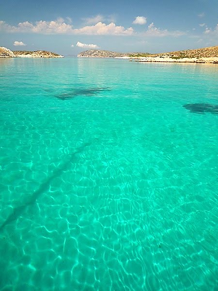
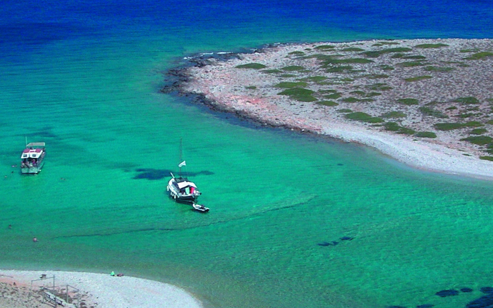
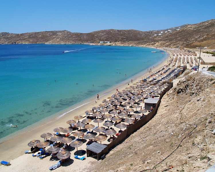
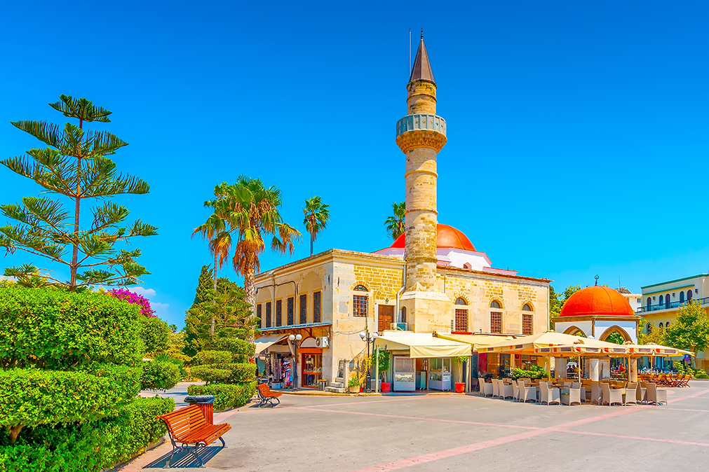
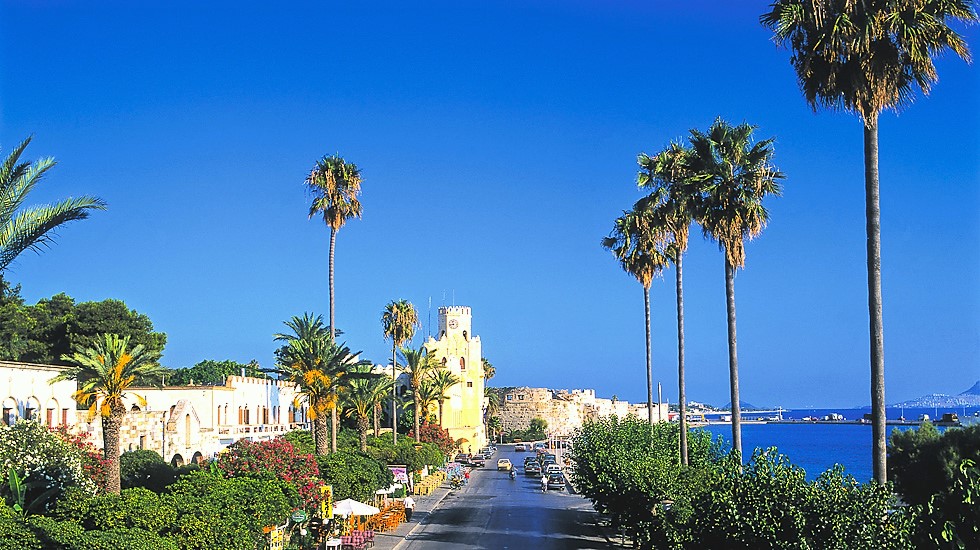
The endless coasts with the turquoise waters, the vegetation, the affluent water springs, the ancient and medieval monuments, as well as the impressive Italian buildings feature Kos island; the third largest island of Dodecanese complex, located just 4 miles away from the Turkish coasts. The name «Kos» probably derives from the daughter of the mythical King Meropas, called Koos.
Kos is the birthplace of Hippocrates «the father of medicine» (460-377 B.C) and was already inhabited during Neolithic Period (5th - 4th millennium B.C). The Knights of St. John conquered the island during the 14th century, reinforcing the older castles and building new fortifications. During Ottoman occupation, the island was attacked by several intruders (Knights, Venetians etc), while during Italian occupation (1912-1945) some really important, monumental public buildings were constructed. The island was officially united with Greece in 1948. It extends over a surface of 290 km2; its coastline is 112 km and counts 31,000 inhabitants.
It can be reached by ferry from Piraeus Port or by airplane from the Athens International Airport, «Eleftherios Venizelos».
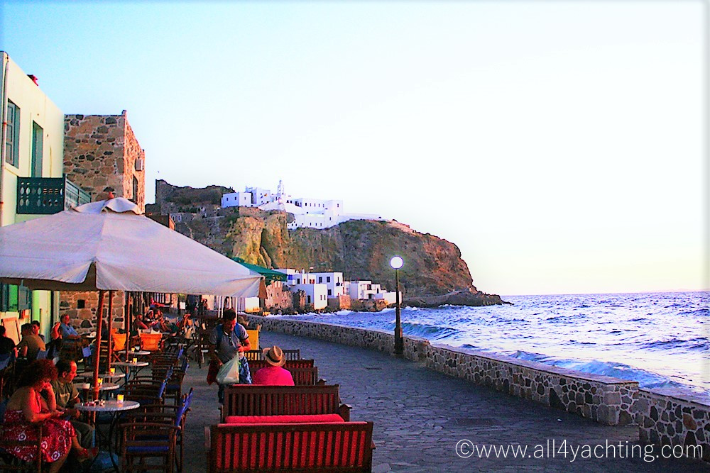
Nisyros
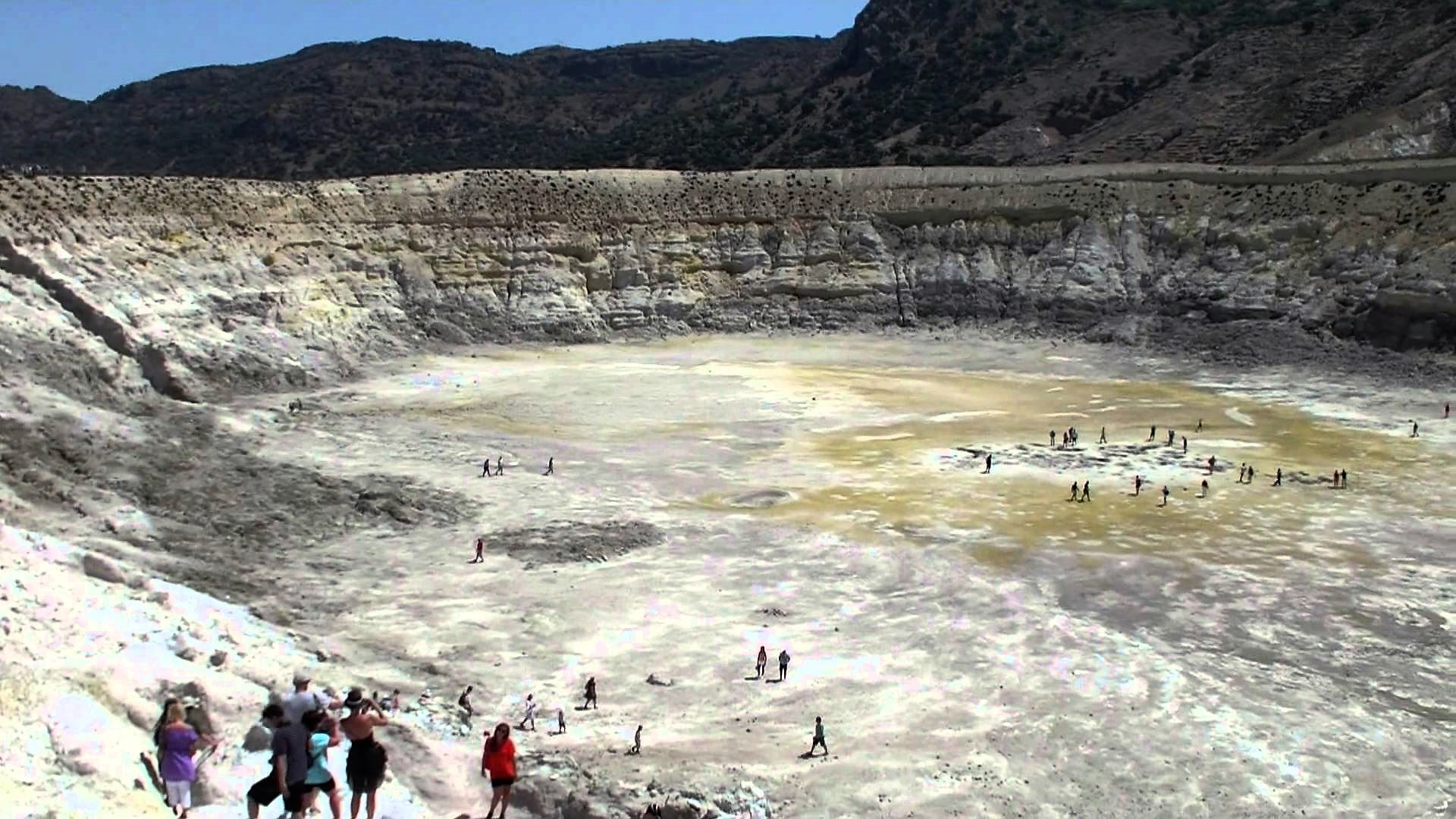
Nisyros is one of the most beautiful Aegean islands, still untouched by the tourism growth. It is part of the Dodecanese group of islands, situated between Kos and Tilos. The island extends over a surface of 41 km and its coastline is 28 km long. It can be reached by ferry from Piraeus, Kos and Rhodes.
According to mythology, it was created from the Battle of Giants, during the war between Gods and Giants. Poseidon chased the Giant Polyvotis down to Kos, cut a part of it and threw it to his enemy, sinking him forever in the bottom of the Aegean Sea. The legendary rock is the modern Nisyros and it is said that the volcano’s explosions are the angry breathing of the defeated Giant. These explosions shaped the island, which is considered to be the youngest volcanic centre in Greece, still active – along with the volcanoes of Milos, Santorini and Methana. During antiquity the island thrived on obsidian commerce, extracted by the inhabitants of Nisyros, from the nearby island, Gyali.
Symi
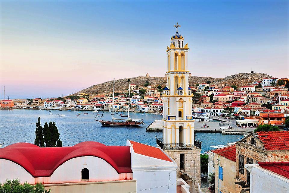
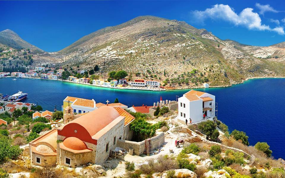
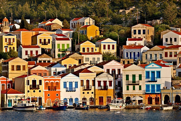
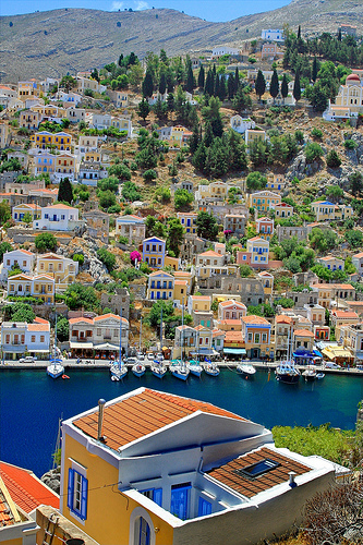
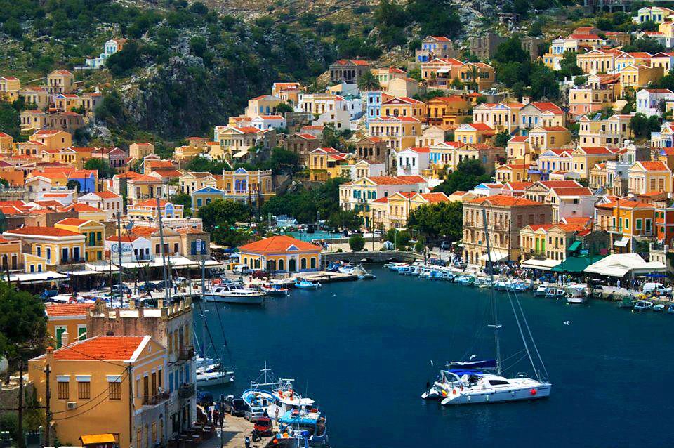
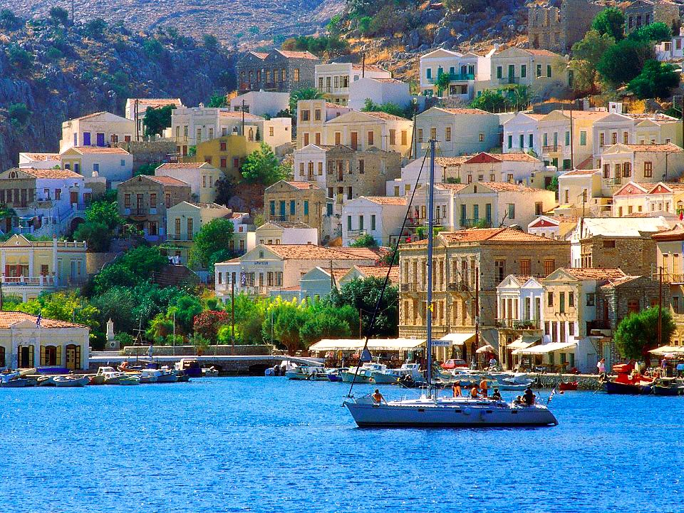
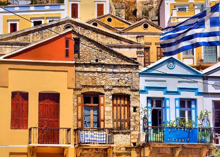
Symi is a cosmopolitan island, where one of the prettiest and largest neoclassical towns of the country has been developed. It has rich, mythological tradition, since it has been firstly inhabited during the prehistoric age. The king Nireas took part in the Trojan War and became a legend. The inhabitants devoted themselves to sponge-fishing and ship-building, activities which provided decrees (firmans) of favorable treatment on behalf of the Sultan, during Turkish occupation (since 1522). It was at that time when the School of Aghia Marina and the Anagnostirio Aigli (Reading-Room) have been founded. The island reached its peak during 19th century, when it counted 25,000 inhabitants. In 1945, the delivery of Dodecanese to the Allies was signed on the island of Symi. Symi was officially united with Greece in 1948. It can be reached by ferry from Rhodes’ port. The island extends over a surface of 58 km2, its coastline is 85 km long and it has 2,500 inhabitants.
Kalymnos
It is the island of the sea- sponge harvesters
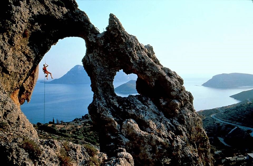
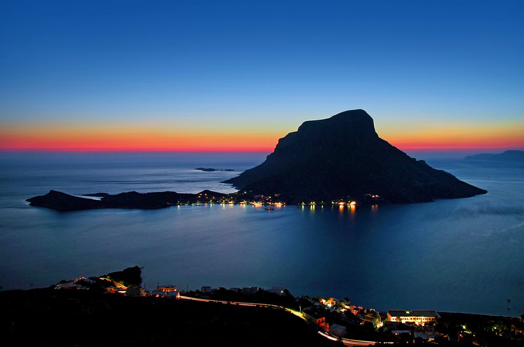
Climbing up giant vertical rocks; diving in a sea bottom where centuries- old ship wrecks lie; enchanting caves; wonderful beaches und picturesque island settlements. This is Kalymnos: a destination offering more than you can imagine!
Welcome to Kalymnos, the island of the sea-sponge harvesters! The fourth largest island of the Dodecanese Group is widely known as an international sponge-harvesting trade center. After WW II, Kalymnos remained the only Greek island engaged in the sea sponge-harvesting activity, supplying domestic as well as foreign markets. Thanks to its unique geomorphology, Kalymnos is a tourist destination known worldwide for offering alternative vacations and activities such as climbing, scuba diving, mountain hiking and spelunking, a true paradise for passionate action-lovers!
Hóra and settlements
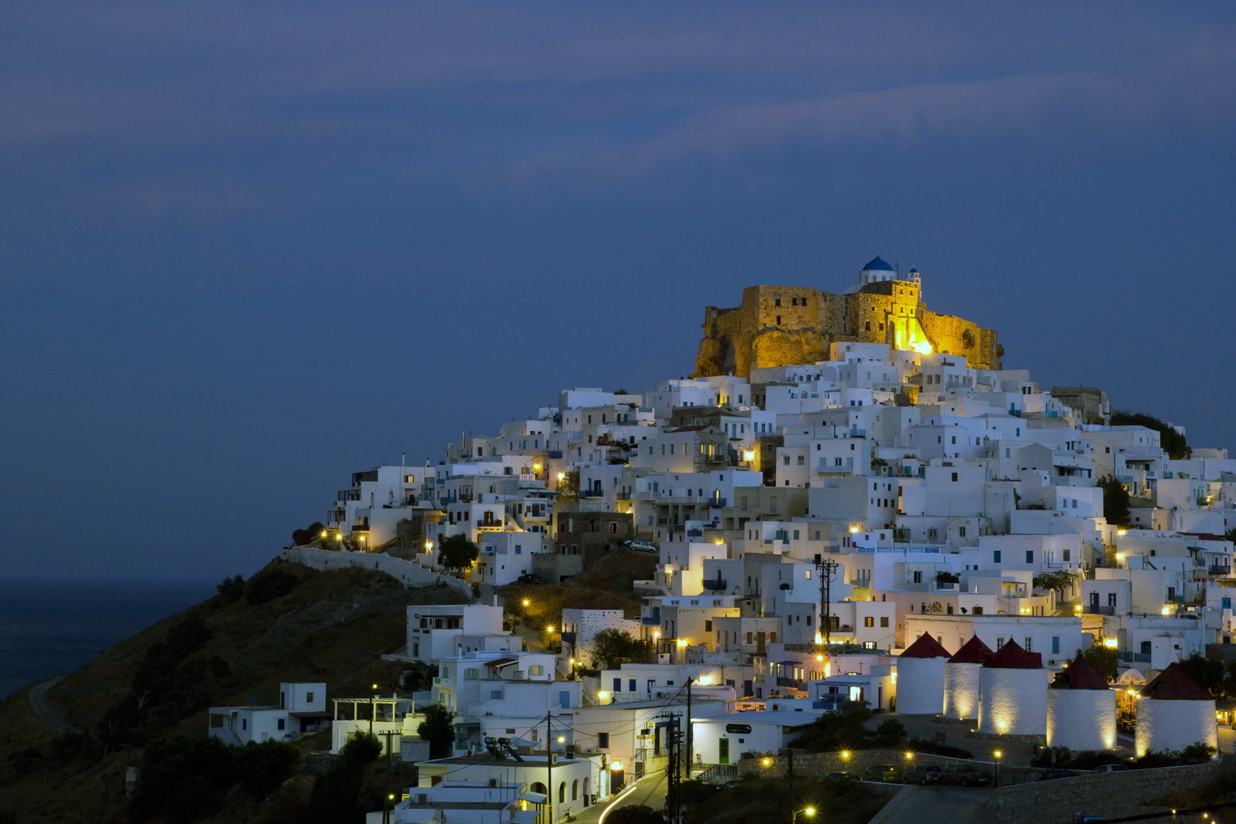
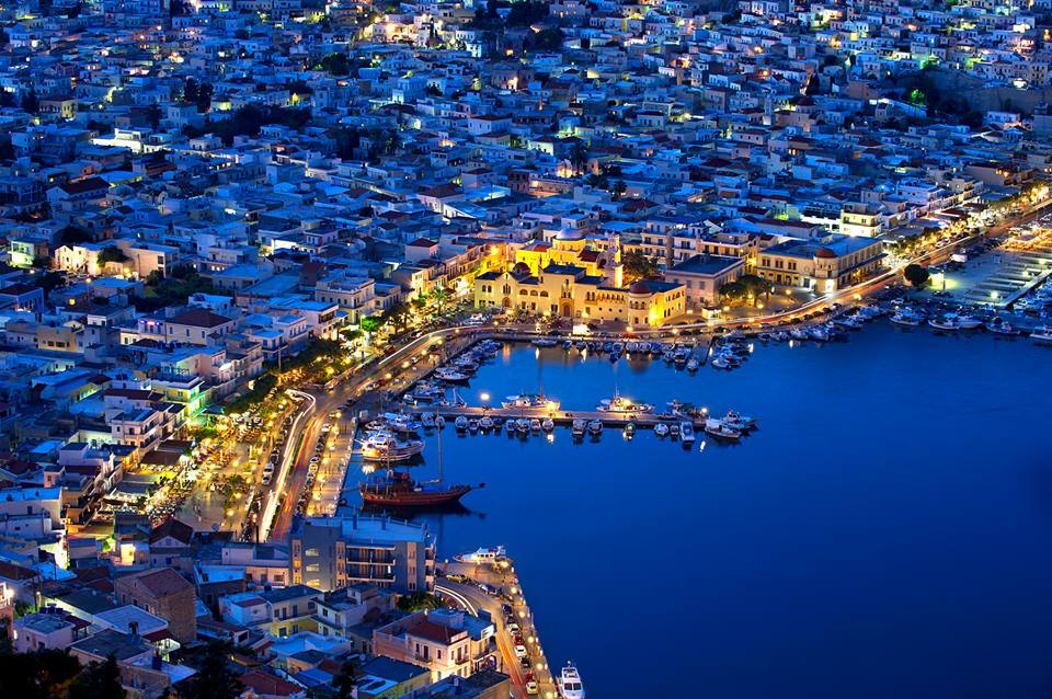
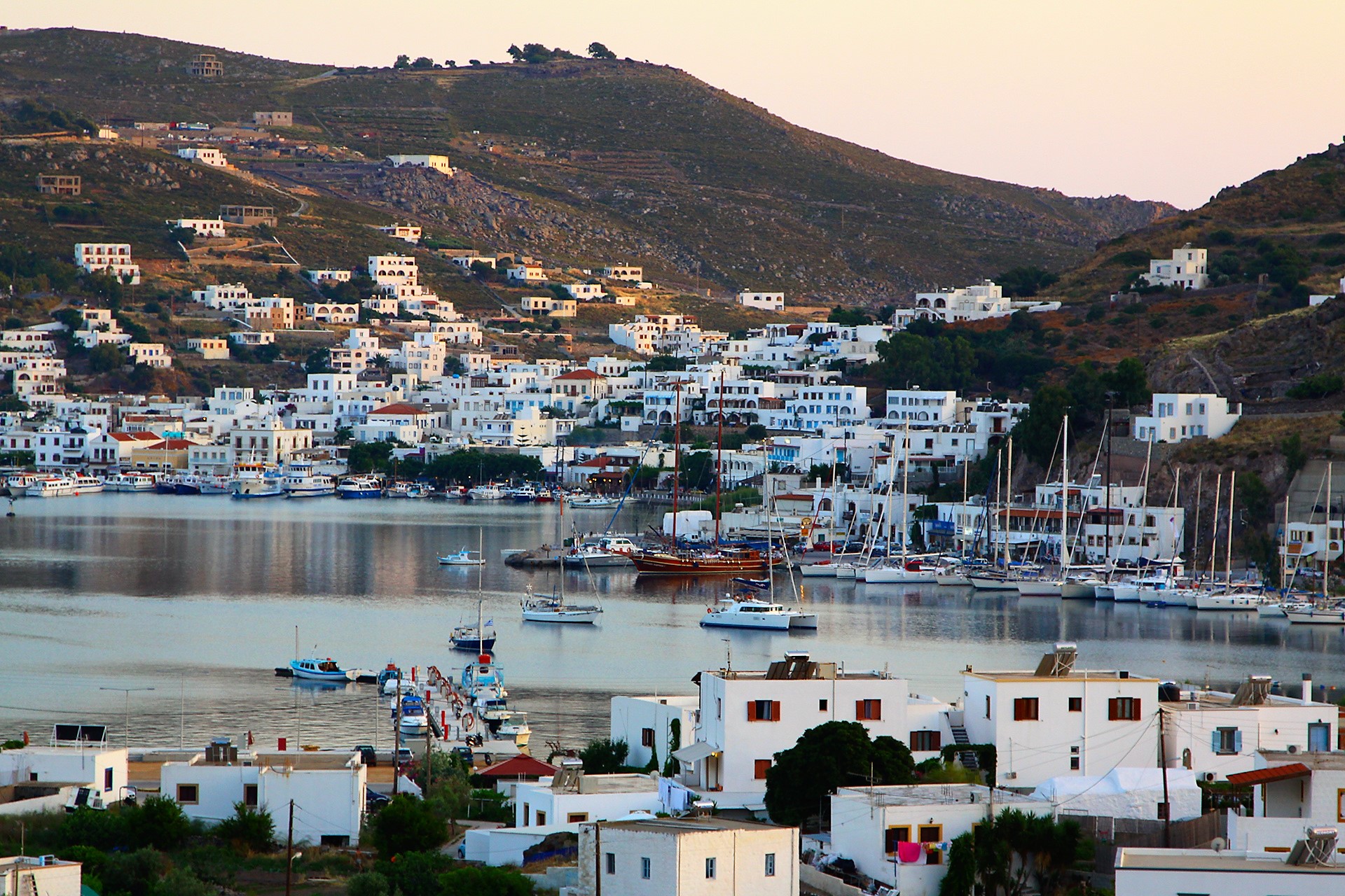
The capital of Kalymnos is the port-town of Pothia, a colourful island settlement spreading amphitheatrically over the foot and slopes of two hills and the valley between them. Pothia boasts remarkable architectural features; in its narrow streets, stand next to one another impressive old mansions (among them stands out the Vouvalis Mansion, the house of a prominent sea sponge merchant and benefactor of the island), elegant captain houses and modest one-storey sponge-harvesters’ houses. Each neighborhood has its own church but the most impressive ones are considered to be those of 1861 Sotiras Christos (Christ Saviour), with a silver dome and a marble iconostasis (icon screen) crafted by the eminent Greek sculptor Giannoulis Chalepas and Agios Nikolaos church. Outstanding buildings such as the Town Hall and the Prefecture Hall boasting a beautiful italianate architecture reveal the long presence of Italian conquerors on the island.
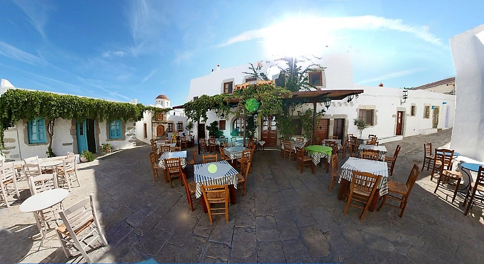
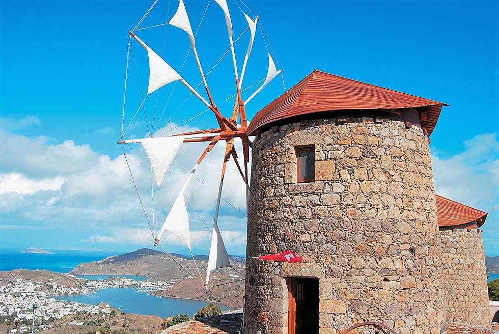
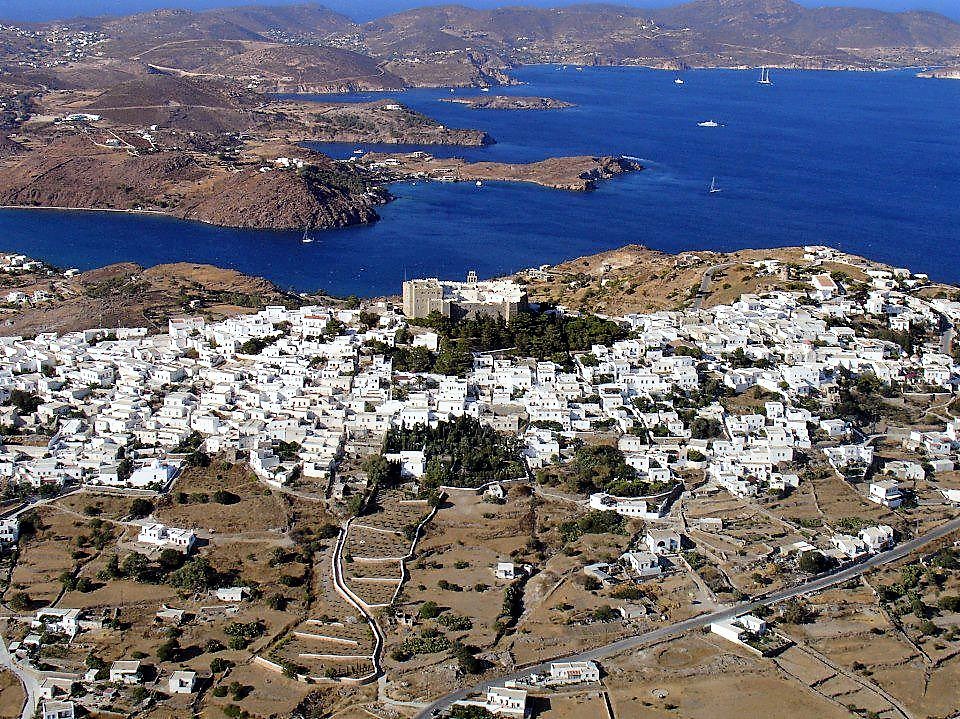
Patmos
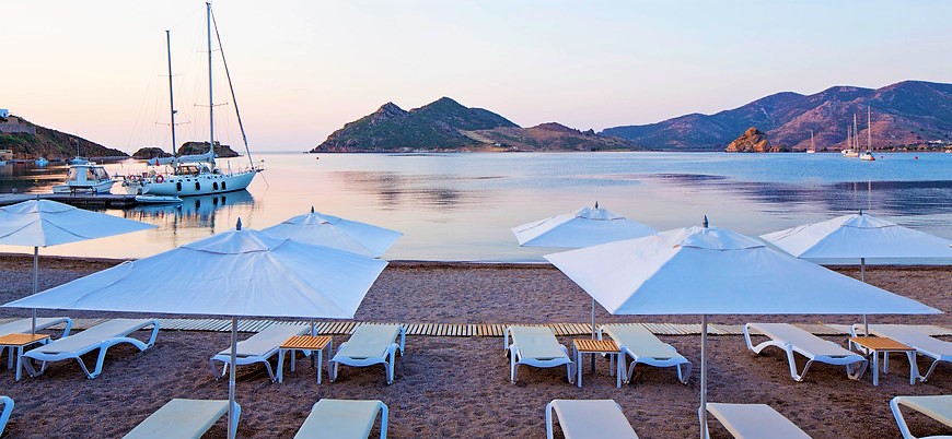
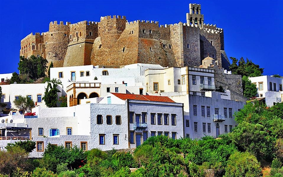
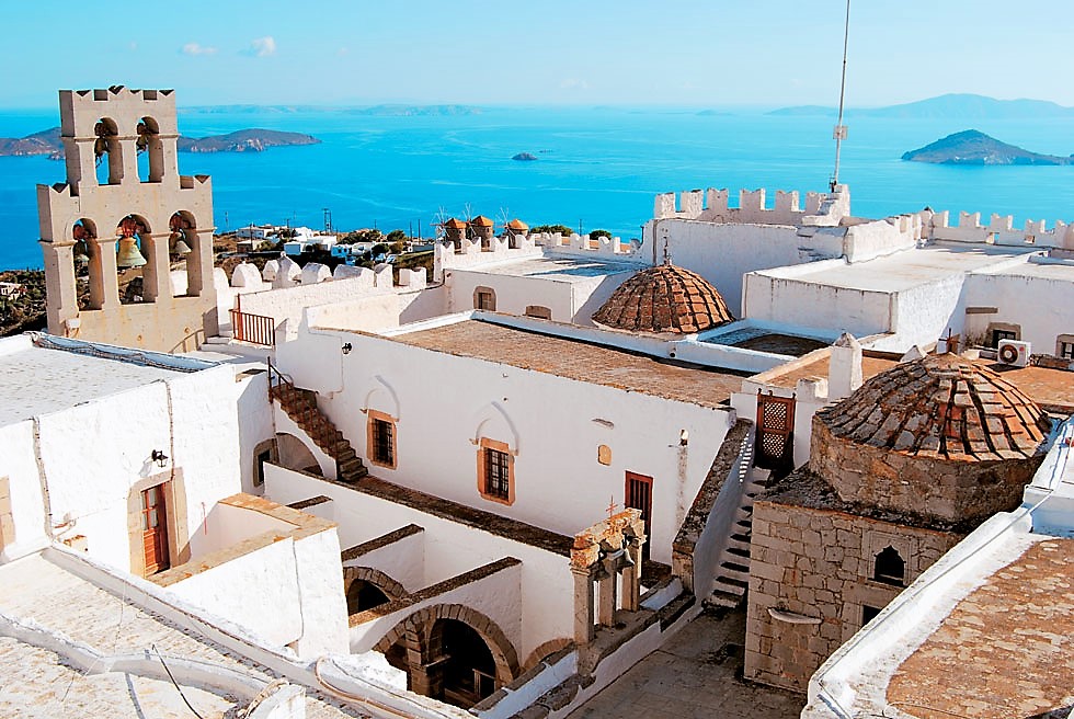
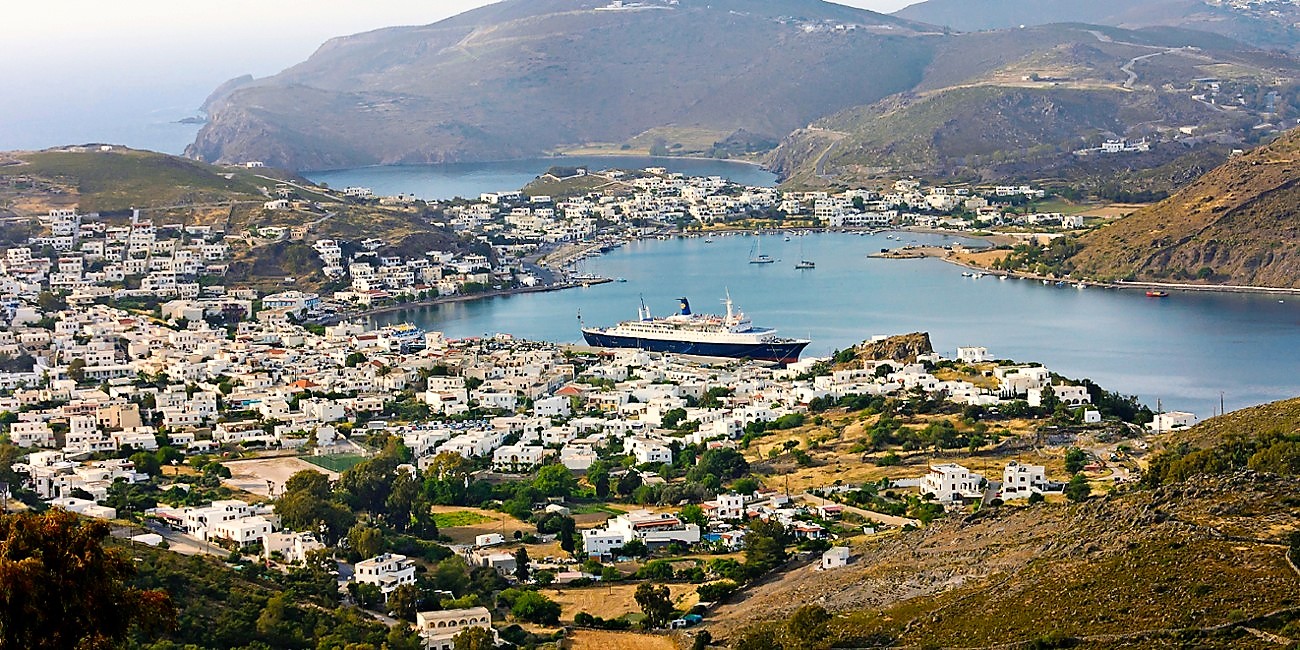
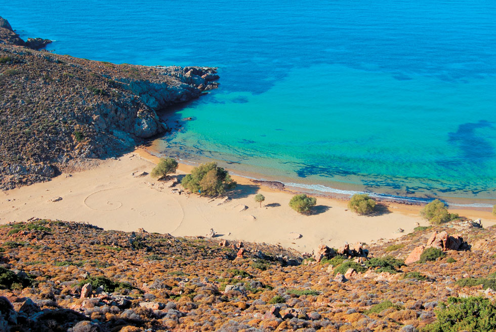
Worldwide known as a sacred island for it is the place where Saint John wrote the Book of Revelation, Patmos is an ideal destination for nature lovers thanks to its lace-like coastline, sheer cliffs and volcanic soil.
Designated as “Holy Island” by the Greek Parliament in 1981 as well as a World Heritage Site by UNESCO in 1999, Patmos had been used as a place of exile by the Romans on account of its steep morphology. That’s how St. John found safe refuge here in the 1st century A.D., exiled by the Emperor Domitian.
Copyright All4yachting.com. All rights reserved. No publication is allowed without any prior approval.

.jpg)


.jpg)


 Call Us Now